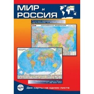
World and Russia. Map
Please sign in so that we can notify you about a reply
Folding map of the world and Russia on one sheet, bilateral. On the one hand, the political and administrative map of Russia. All subjects of the Russian Federation were highlighted on the color map, their names, capitals and centers (Crimea as part of Russia) were noted. Showing adjacent states. Public accommodations are given in accordance with their political and administrative importance and the number of residents, the main roads and railways, shipping and sea routes, marine ferries. Marked river and seaports, airports. The relief of sushi and the seabed is depicted. On the other hand, the political map of the world. Made in a convenient cartographic projection, using modern information. States, ownership and territory with special status, their capital and centers are shown, state borders are shown. Popular points are indicated by political and administrative significance and number of residents. For the first time, the city of the world with a population of over 5 million inhabitants. The largest airports and seaports are given, the main messages of the message. The terrestrial terrestrial surface and seabed is depicted. Signed southern ocean. Complement the card state flags. Release format: 1000x696 mm. Scale: World - 1: 35000000, Cuts "Arctic", "Antarctica" - 1: 62500000, Russia - 1: 9000000
Cover:
Cover:Soft
Category:
- Category:History & Geography
- Category:Travel & tourism
Paper:
Paper:Molded
ISBN:
ISBN:978-5-91704-056-1
No reviews found
