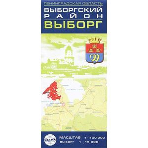
Vyborg District, Vyborg. Map
Please sign in so that we can notify you about a reply
Convenient scale 1: 100,000, as well as detailed plans of district centers are the main advantage of this series of cards. The map shows all settlements, roads and their technological condition, the road service objects are applied, regional traffic police departments, road-patrol posts are noted, the main attractions are allocated, the distances between the settlements and individual sites are shown. The map contains a pointer of settlements, railway stations, lakes, as well as a pointer of Vyborg streets.
Format: 115x250 mm.
Release format: 1000x690 mm.
Scale 1: 100 000 (Vyborg district), 1:15 000 (Vyborg)
Format: 115x250 mm.
Release format: 1000x690 mm.
Scale 1: 100 000 (Vyborg district), 1:15 000 (Vyborg)
Cover:
Cover:Other
Category:
- Category:Science & Math
- Category:Travel & tourism
Paper:
Paper:Molded
ISBN:
ISBN:978-5-900006-96-3
No reviews found
