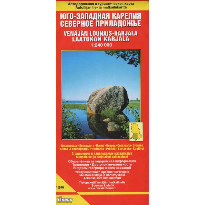
Southwestern Karelia. Northern Priozersk. Road and tourist map
Please sign in so that we can notify you about a reply
Road and tourist map in Russian and Finnish. The most detailed roadmap is prepared on the basis of the publisher"s own regional geo-information database, taking into account these current field surveys. A large amount of data is published for the first time. All roads are indicated in accordance with their type of coating, status and real state. Marked gas stations, stationary DPS posts, international border crossings. Hotels, motels, houses and recreation centers, gardening are applied and signed. Administrative and territorial division.
All names are given in Russian and in Latin transliteration. For settlements located on the territory, which belonged to the 1944 of Finland, the original historical names are given, the line of the border between Finland and the USSR in the Tartu Peace Treaty of 1920, the boundaries of the administrative and territorial division of the territory as of 1939 with the names of volosts. The names of some settlements in Karelian language are given. Full indexes of modern, historical and Karelian names of settlements.
Scale: 1: 240 000
Cover:
Cover:Soft
Category:
- Category:Engineering & Transportation
- Category:Travel & tourism
Paper:
Paper:Molded
ISBN:
ISBN:978-5-940-59029-3
No reviews found
