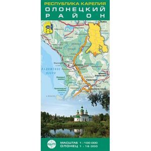
Republic of Karelia. Olonetsky district. Folding map
Please sign in so that we can notify you about a reply
Folding map of the Olonetsky district.
There are all settlements, elements of nature and relief, infrastructure and road service facilities, road roads and their technological state, the traffic police departments are noted, the distances between settlements and individual sites are noted. Also showing the border territory of Finland.
Advanced: Olontsa Plan, Pointer of settlements, railway stations and lakes.
The map will be interested in travelers and a wide range of users.
Scale: 1: 100000.
Olonets 1: 16000
Cover:
Cover:Soft
Category:
- Category:Medical Books
- Category:Travel & tourism
Paper:
Paper:Molded
ISBN:
ISBN:978-5-91704-054-7
No reviews found
