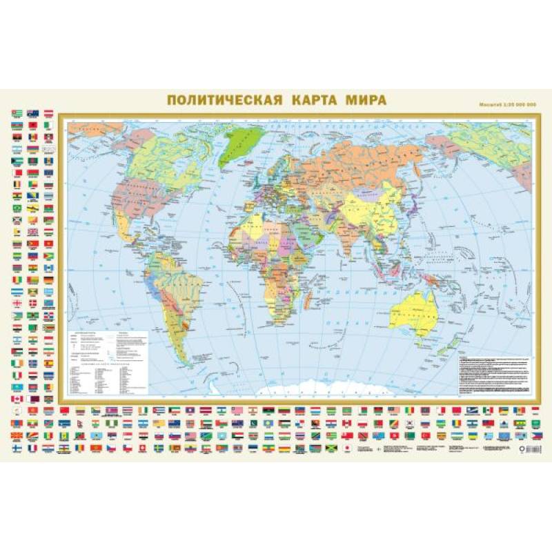
Political world map with flags A0 (in new borders)
Please sign in so that we can notify you about a reply
This wall Political World Map, covered with an anti-glare coating on the front side, has dimensions of 1170x790 mm. The map shows all 196 independent countries of the world with their capitals, as well as territories and areas with special status. Russia is presented in its new borders: with the Donetsk and Luhansk People's Republics, Zaporizhzhia and Kherson regions, the Republic of Crimea, and Sevastopol. The populated areas on the map are given in three population gradations: over 1 million inhabitants, from 100,000 to 1 million, and less than 100,000 inhabitants. The map is framed with the official flags of the world's countries, arranged in alphabetical order, which facilitates their search. Recommended for a wide range of users.
Author:
Author:.
Cover:
Cover:softcover
Category:
- Category:Politics & Social Science
Publication language:
Publication Language:Russian, Russian
Paper:
Paper:laminated
Dimensions:
Dimensions:79x117x.1 cm
Series:
Series:Map (legend)
Age restrictions:
Age restrictions:7+
ISBN:
ISBN:978-5-17-154928-2
No reviews found
