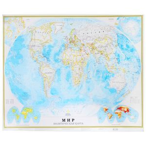
Political map of the world. Federal structure of Russia
Please sign in so that we can notify you about a reply
A double-sided polymer film covered with a size of 575x420 mm. On one side - a political map of the world on a scale of 1:58,000,000 (1 cm 580 km), on the other, the map "Federal Device of Russia" on the scale of 1:15,000,000 (1 cm 150 km).
On the political map of the world, all independent states with their capitals are shown in color and signatures, as well as possession and areas with special status. Popular points on the map are given in three gradations of the number: more than 1 million inhabitants, from 100 thousand to 1 million, less than 100 thousand inhabitants.
The map of Russia presents all 85 subjects of the Federation, including the Republic of Crimea and Sevastopol, with their capitals and centers. Subjects of the Russian Federation are grouped by 9 federal districts. Showing the main route of the railway and highways.
Recommended for a wide range of users
Cover:
Cover:Soft
Category:
- Category:Politics & Social Science
Series:
Series: Map A2
ISBN:
ISBN:978-5-17-093476-8
No reviews found
