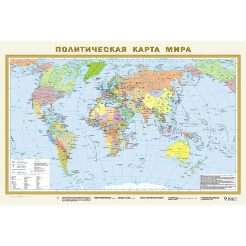
Political map of the world A1. In new borders
Please sign in so that we can notify you about a reply
The Political World Map at a scale of 1:40,000,000 (400 km in 1 cm) shows all independent states of the world with their capitals, as well as territories and areas with special status. Russia is presented in its new borders: with the Donetsk and Luhansk People's Republics, Zaporizhzhia and Kherson Oblasts, the Republic of Crimea, and Sevastopol. The populated areas on the map are given in three population gradations: over 1 million inhabitants, from 100,000 to 1 million, and less than 100,000 inhabitants. This one-sided wall map has dimensions of 870x580 mm and is recommended for a wide range of users.
Author:
Author:.
Cover:
Cover:softcover
Category:
- Category:Politics & Social Science
Publication language:
Publication Language:Russian
Paper:
Paper:offset
Dimensions:
Dimensions:87x58x.2 cm
Series:
Series:Map A1
Age restrictions:
Age restrictions:0+
ISBN:
ISBN:978-5-17-154863-6
No reviews found
