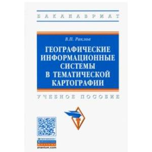
Geographical information systems in thematic cartography. Tutorial
Please sign in so that we can notify you about a reply
The training manual considers the main issues of the organization, interaction and functionality of GIS, and determines the main terms and recommendations for the choice of various GIS. Technological issues of creating electronic cards using GIS technologies in Maplnfo and Arcview Wednesdays are highlighted in detail in the production of cadastral work, to protect the environment and monitoring of land.
The first edition of the manual (2004) was awarded the 1st degree diploma at the All-Russian review "Best Agrarian Book".
meets the requirements of federal state educational standards of higher education of the latest generation.
is addressed to students and university teachers specializing in geodesy and cartography, as well as real estate specialists and environmental monitoring.
5th edition, stereotypical
Author:
Author:Vyacheslav Raklov
Cover:
Cover:Hard
Category:
- Category:Arts & Photography
- Category:Science & Math
- Category:Natural sciences
Publication language:
Publication Language:Russian
Paper:
Paper:Offset
Series:
Series: Higher Education. Bachelor
ISBN:
ISBN:978-5-16-015299-8
No reviews found
