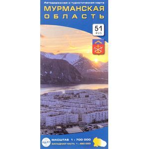
Murmansk region. Road and tourist map
Please sign in so that we can notify you about a reply
The convenient location of the territory is the entire Murmansk region on one sheet of the map, on the back - the western part of the region on an increased scale.
The boundaries of the Murmansk region and its administrative areas are shown, regional centers are noted. The settlements are given in accordance with the number of residents, roads, their numbers and technological condition, railways, distances between individual sections of roads, elements of nature and relief are indicated. The territories of state reserves, national parks and reserves of federal significance are shown, river and sea ports, airports, international car points, cultural and service facilities, and the main attractions are marked.
Format: 115x250 mm. Undress format: 1000x690 mm.
scale: 1: 700 000, western part 1: 450 000
Cover:
Cover:Soft
Category:
- Category:Engineering & Transportation
- Category:Travel & tourism
Paper:
Paper:Cooked
Series:
Series: Folding map
ISBN:
ISBN:978-5-91704-068-4
No reviews found
