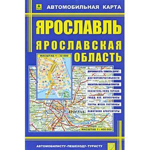
Map: Yaroslavl. Yaroslavl region
Please sign in so that we can notify you about a reply
Bilateral full-color card. It contains a detailed plan of the city with all the streets, numbers of corner houses. It is indicated the location of administrative buildings and socio-cultural objects. Dana historical and geographical reference of the city of Yaroslavl. Scale of Yaroslavl 1:32 000.
Detailed map of the area with an indication of the class of roads and distances between settlements in kilometers. The location of the traffic police posts, gas stations is indicated. There is a pointer of settlements. Scale 1: 400 000
Detailed map of the area with an indication of the class of roads and distances between settlements in kilometers. The location of the traffic police posts, gas stations is indicated. There is a pointer of settlements. Scale 1: 400 000
Cover:
Cover:Soft
Category:
- Category:Arts & Photography
- Category:Engineering & Transportation
Series:
Series: Cards Cards
ISBN:
ISBN:978-5-89485-182-2
No reviews found
