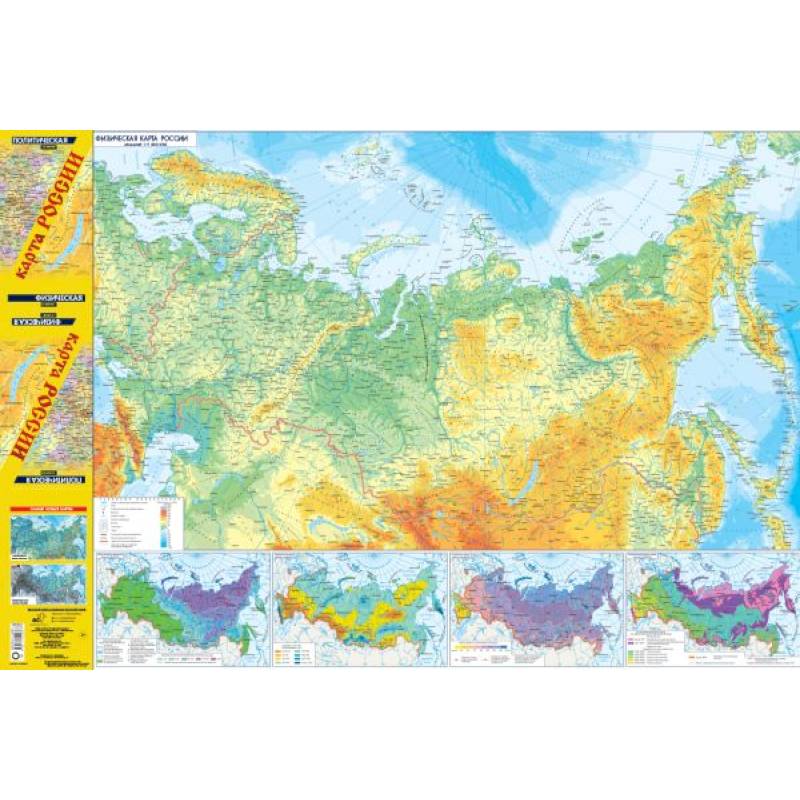
Map of Russia (in new borders). Political. Physical.
Please sign in so that we can notify you about a reply
The updated two-sided folding map in the format of 990x680 mm features on one side a physical map of Russia at a scale of 1:9,500,000, reflecting the relief and hydrography of the country within its new borders, and on the other side a political map of Russia at a scale of 1:8,500,000, showing all 89 subjects of the Russian Federation (excluding the Donetsk and Luhansk People's Republics, the Republic of Crimea and the city of Sevastopol, Zaporizhzhia and Kherson regions) within 8 federal districts. The main maps are supplemented with maps (at a scale of 1:38,000,000) showing the distribution of permafrost, annual river discharge, snow cover thickness, agroclimatic zones, as well as a map of the "Peoples of Russia" at a scale of 1:25,000,000.
Author:
Author:.
Cover:
Cover:softcover
Category:
- Category:History & Geography
Publication language:
Publication Language:Russian
Paper:
Paper:coated
Dimensions:
Dimensions:112x230x.8 cm
Series:
Series:Map (foldable/large)
Age restrictions:
Age restrictions:0+
ISBN:
ISBN:978-5-17-154936-7
No reviews found
