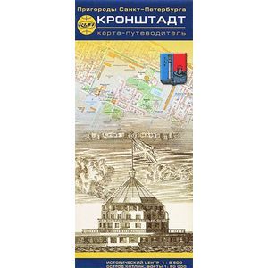
Kronstadt. Map-guide. Historical center
Please sign in so that we can notify you about a reply
The historic center of Kronstadt, Kotlin Island and Forts are shown.
The monuments of architecture, museums, temples, monuments, cafes, pier, lighthouses, a pedestril route, a complex of protective structures are noted. The map is accompanied by historical information about the most interesting objects of Kronstadt. Additionally: the time of work of museums, transport from St. Petersburg, a list of streets and forts.
Format: 110x225 mm.
Release format: 450x700 mm.
Scale: Center 1: 8,500, city 1:50 000
Cover:
Cover:Other
Category:
- Category:History & Geography
- Category:Travel & tourism
ISBN:
ISBN:978-5-91704-016-5
No reviews found
