Why north from above. What are the conventional signs, projections and scale on the maps
Please sign in so that we can notify you about a reply
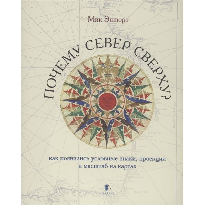
Many people like cards: some show interest in certain places, others recall past travels and plan new ones, and others simply enjoy their graphic performance. Maps are a curious combination of art and science, and the complexity and detail of the images inspire faith in their reliability and accuracy. Throughout the history of cartography, the generally accepted system of symbols developed and gradually became the generally accepted system, which allows to depict the earth"s surface in details and making cards more understandable to users. Talking about the origin of the maps, describing their structure, various conventional signs, methods for displaying the landscape and applying names and borders, as well as methods for compiling thematic and specialized maps, this book helps readers better understand the task of the cartographer and figure out how the cards" work.
This book talks about how cartography arose, how the system of conventional signs and methods for displaying the earth"s surface developed - about the orientation of the map, cartographic projections, typographic, scale, the use of color, linear and areas symbols, and writing geographical names.
The book is perfectly illustrated by cards from the collection of the Oxford Bodlian library, museum and private collections of state archives
Author:
Author:Eshvort M.
Cover:
Cover:Hard
Category:
- Category:Comics and Graphic Novels
- Category:History & Geography
- Category:Reference books
- Category:Natural sciences
Publication language:
Publication Language:Russian
Paper:
Paper:Completed
Series:
Series:-
ISBN:
ISBN:978-5-98797-291-5
No reviews found