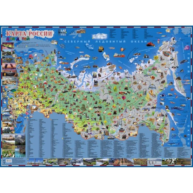
Russian map for children
Please sign in so that we can notify you about a reply
Travel in Russia. Remove the names of the seas, high mountains, long rivers, large cities. The inscriptions on the map are given in large font.
The size of the map is 108x79 cm, this format allows you to see the entire territory of the largest country, to remember its outlines. The main content of the card is a large number of illustrations. Distributed through the territory of land and water surface, they reflect the originality of flora and fauna. Also on the map there are many photo images of the most famous man -made and natural attractions of Russia, architectural monuments, achievements of science and technology, products of folk crafts that reflect the traditions of national cultures.
Consider the card with your child, such communication will help you find out how he perceives the world around him. Game classes with our card expand the horizons and vocabulary, train memory, attention and observation
Cover:
Cover:Soft
Category:
- Category:History & Geography
- Category:Travel & tourism
Publication language:
Publication Language:Russian
Paper:
Paper:Moneuted
Series:
Series: Map in plastic
ISBN:
ISBN:978-5-17-145204-9
No reviews found
