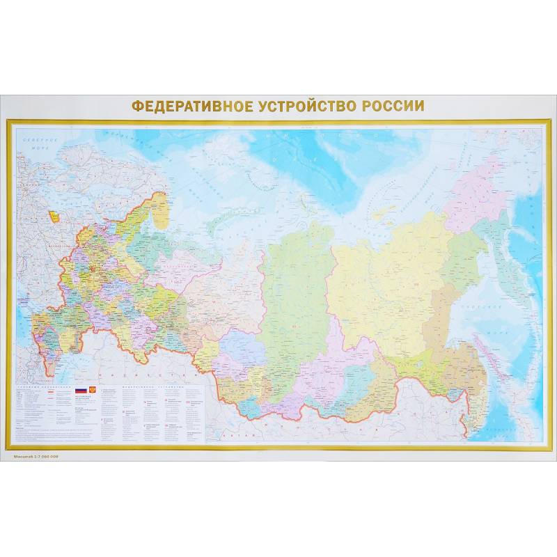
Physical map of Russia. Federal structure of Russia
Please sign in so that we can notify you about a reply
The A0 format map has dimensions 1170 x 790 mm. On one side of the sheet is a physical map of Russia scale 1: 7,000,000 (1 cm 70 km) It presents the whole diversity of the modern relief of our country. Differences in absolute marks of the territory (from 27 m on the Caspian lowland to 5642 m in the mountains of the North Caucasus) are clearly shown using the color scales of heights and depths. The names of all basic forms of relief (mountain systems and ridges, plains, lowlands, elevations, etc), expressed on a map scale, are given. Sushi water bodies - rivers, lakes, reservoirs, swamps, glaciers are quite fully reflected on the map. On the other side of the sheet is the “Federal structure of Russia” map on a scale of 1: 7,000,000. 85 constituent entities of the Federation, including the Republic of Crimea and Sevastopol, with their capitals and centers are presented on the map. The constituent entities of the Russian Federation are grouped in 9 federal districts. The population of cities and towns is given for 6 gradations. The mains of railway and automobile messages are shown. The map is an excellent manual in the study of the geography of Russia. The card is packed in a transparent tube (a package with a volumetric bottom and euroslot) made of soft plastic.
Dimensions of the tube: length 800 mm, diameter 50 mm
Dimensions of the tube: length 800 mm, diameter 50 mm
Cover:
Cover:Soft
Category:
- Category:History & Geography
- Category:Travel & tourism
Publication language:
Publication Language:Russian
Paper:
Paper:Cooked
Series:
Series: Map in plastic
ISBN:
ISBN:978-5-17-098977-5
No reviews found
