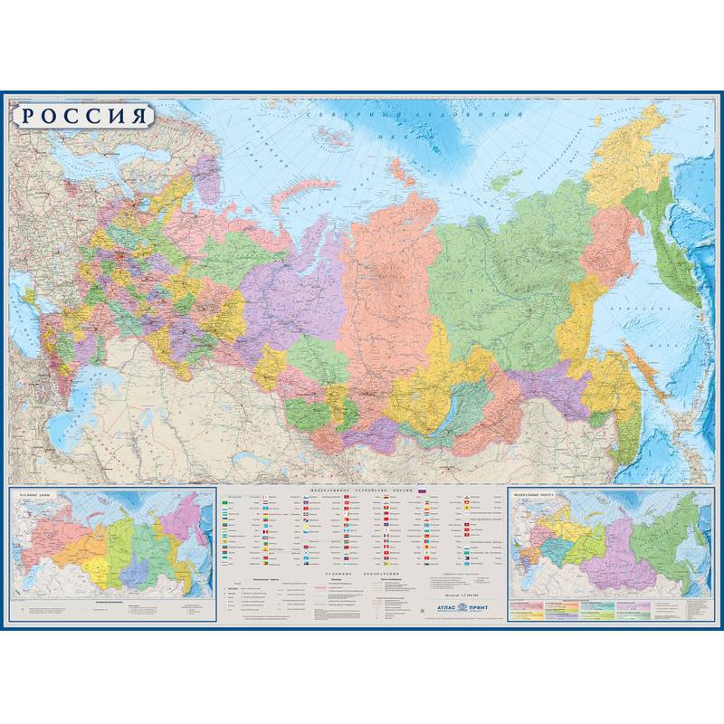
Nastenny map "Russia" of political and administrative
Please sign in so that we can notify you about a reply
Your attention is offered a wall political and administrative map of Russia with Crimea. All the subjects of the Russian Federation are highlighted with color, their names and centers are signed. The color background shows the relief of sushi and sea bottom. Settlements, ports and airports, automobile and railways are shown and signed. Map size: 1 m x 0.7 m
Category:
- Category:History & Geography
- Category:Travel & tourism
Age restrictions:
Age restrictions:12+
ISBN:
ISBN:2154795520027
No reviews found
