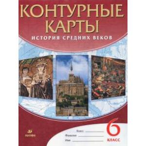
History of the Middle Ages. 6th grade. Contour maps. GEF
Please sign in so that we can notify you about a reply
Contour maps on the history of the Middle Ages will help you when studying the period of world history from V to the 15th century, from the fall of the Western Roman Empire to the collapse of the Byzantine power.
When completing tasks, use the school textbook and atlas of the history of the middle centuries for grade 6. This does not mean that you need to redraw the content of the atlas or textbook cards, perform only specific tasks.
Contour maps contain tasks on the formation of meta -subject skills and personal qualities of students provided for by the Federal State Educational Standard.
Before the start of work, determine the conventional signs that you will use to complete the task, and indicate their value in the legend of the card. Remember that the task should be completed not only correctly, but also neatly. See how various events and geographical objects are displayed on the cards of the atlas. When completing tasks, try to gently show them on the maps.
For applying historical events or geographical objects to the contour map, focus on geographical nets, rivers and coastline. In order to facilitate your work when completing the tasks specified in the fields of maps or tasks proposed by the teacher, the names of large rivers, lakes, seas, and a number of geographical objects are given on the contour maps.
We wish you success in studying the history of the Middle Ages - an important period of world history
Cover:
Cover:Soft
Category:
- Category:Arts & Photography
- Category:History & Geography
Publication language:
Publication Language:Russian
Paper:
Paper:Cooked
Series:
Series: Atlases and contour maps
Age restrictions:
Age restrictions:5+
ISBN:
ISBN:9785090795067
No reviews found
