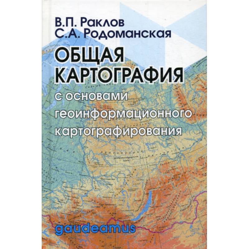
General cartography with the basics of geoinformation mapping
Please sign in so that we can notify you about a reply
The manual reveals the foundations of the creation and use of maps, based on the principles of traditional cartography, geoinformannone and operational mapping, that is, the principles of creating and using cards in a real or close to a real scale of time.
Along with the understanding of the essence of the basic concepts of cartography, the current practice of the phased creation of cards is given, taking into account the main types, methods of cartographic generalization and methods of cartographic image. A variety of themes of cards is given that determine the variety of sources used to compile them. At the same time, the foundations of mathematical cartography are considered that reveal the features of the transition from the physical surface of the Earth to its display on the plane (map), taking into account distortions of lengths, areas, angles.
In the manual, the sections of geoinformation mapping allow us to represent the creation and use of cards as a single process, where during computer processing the image is constantly transformed, moving from one form to another. The numerous definitions of GIS are analyzed. The structure of the organization of attributive and spatial data is considered, the conceptual apparatus of data presentation models, in particular a relational one, which forms the basis of most GIS. As an illustration of GIS-carding, an example of the electronic version of the land management scheme of the Blagoveshchensky district of the Amur Region is given, where the creation of a geodata database was rational in the organization of spatial data from land management. The development of cartographic materials of land management schemes was based on a combination of methods of cartographic image and vector GIS analysis.
The manual is designed for students studying in land management, geodeaic areas, as well as undergraduates and graduate students, teachers and specialists in the field of land management and cadastre of real estate objects
Author:
Author:Rodomanskaya Svetlana Aleksandrovna, Raklov Vyacheslav Pavlovich
Cover:
Cover:Hard
Category:
- Category:Comics and Graphic Novels
- Category:History & Geography
- Category:Reference books
- Category:Natural sciences
Publication language:
Publication Language:Russian
Series:
Series: Gaudeamus
ISBN:
ISBN:978-5-8291-2485-4
No reviews found
