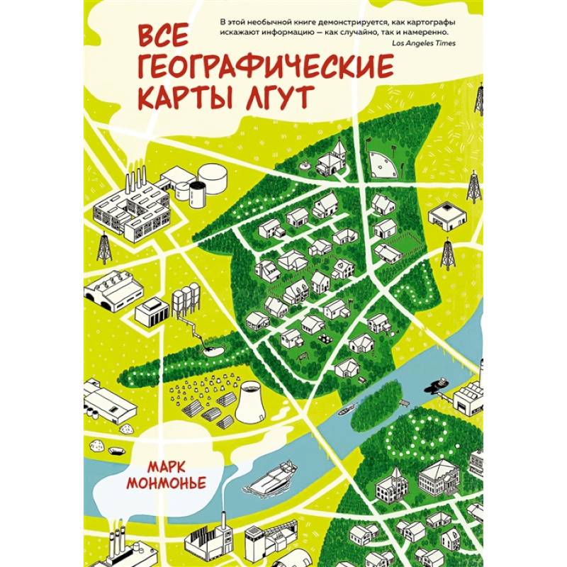
All geographical maps are lying
Please sign in so that we can notify you about a reply
Despite their great value, all geographical maps are lying.
This book, first published in the West in 1991 and successfully withstood several reprints, clearly shows why any map does not reveal the characteristics of the area or object depicted on it. The basic principles of cartography presented here are relevant today, even in the light of significant technological changes in the creation and use of geographical maps. In this completely updated version of the book, the digital stage in the development of cartography is additionally highlighted. A special place is given by “space” maps, “prohibitive” cartography, “developers" maps” and “fast cards”, which include animated cards, webcakes and “smart” static cards distributed in electronic form on the Internet, the advantages are told about the advantages And the disadvantages of online cards. New possibilities of cartographic distortions are investigated - from deliberate simplification to misleading the use of a certain color, as well as methods of direct deception and propaganda. The publication, equipped with a lot of illustrations, including colored gluing, is intended for everyone who is interested in cartography, geography, history and politics. A great gift for those who want to get rid of cartographic illiteracy and potatoes.
“Geographical maps, as well as public performances or works of art, are the author’s processing of information and are also subject to distortions ... Studying the practice of improper use of maps - both paper and digital - gives the key to understanding the nature of the cards themselves and the scale their adequate application. (Mark Monmonya)
Cover:
Cover:Hard
Category:
- Category:Arts & Photography
- Category:History & Geography
Publication language:
Publication Language:Russian
Paper:
Paper:offset
Series:
Series: ideas that can change the world
Age restrictions:
Age restrictions:16+
ISBN:
ISBN:978-5-389-16819-0
No reviews found
