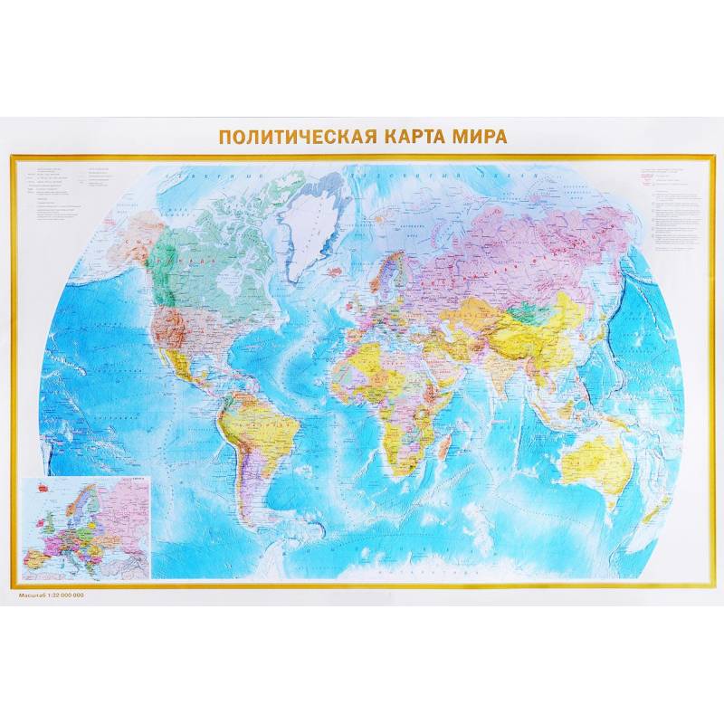
A political map of the World. Federal structure of Russia
Please sign in so that we can notify you about a reply
The A0 format map has dimensions 1170x790 mm. On one side of the sheet is a political map of the world of scale 1:32 000 000 (1 cm 320 km) The map presents all independent states of the world, as well as dependent territories and territories with special status. Punchs show settlements with gradations “more than 1 million inhabitants”, “from 100 thousand to 1 million inhabitants” and “less than 100 thousand inhabitants”. The main railway and road tracks are reflected. The main card is complemented by a larger scale for Europe. On the other side of the sheet is the “Federal structure of Russia” map on a scale of 1: 7,000,000. 85 constituent entities of the Federation, including the Republic of Crimea and Sevastopol, with their capitals and centers are presented on the map. The constituent entities of the Russian Federation are grouped in 9 federal districts. The population of cities and towns is given for 6 gradations. The mains of railway and automobile messages are shown. The card is packed in a transparent tube (a package with a volumetric bottom and euroslot) made of soft plastic.
Dimensions of the tube: length 800 mm, diameter 50 mm
Dimensions of the tube: length 800 mm, diameter 50 mm
Cover:
Cover:Soft
Category:
- Category:History & Geography
- Category:Travel & tourism
Publication language:
Publication Language:Russian
Paper:
Paper:Coared
Series:
Series: Map in plastic
ISBN:
ISBN:978-5-17-982539-5
No reviews found
