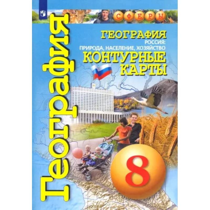
Geography. Russia. Nature, population, economy. 8th grade. Outline maps. Federal State Educational Standards.
Please sign in so that we can notify you about a reply
Contour maps are included in the educational and methodological complex "Geography. Russia: nature, population, economy" for the 8th grade of the subject line of the "Spheres" UMC in geography. They are developed in accordance with the requirements of the Federal State Educational Standard for personal, meta-subject, and subject outcomes of mastering the geography program.
The contour maps are colored, created using the technique of three-dimensional relief representation and in an enlarged scale. For each topic of the course, a system of tasks of different types and levels of complexity is proposed, contributing to the development of cartographic literacy of students in studying Russia as a whole geographical space, its territory, nature, and population. The manual includes additional maps without tasks for independent work.
Contour maps can also be used when working with any of the existing textbooks for the 8th grade on the course "Geography. Russia: nature, population, economy".
Author:
Author:Kotlyar O.
Cover:
Cover:softcover
Category:
- Category:History & Geography
Publication language:
Publication Language:Russian
Paper:
Paper:offset
Dimensions:
Dimensions:29x21x.2 cm
Series:
Series:Spheres
Age restrictions:
Age restrictions:12+
ISBN:
ISBN:978-5-09-089223-0
No reviews found
