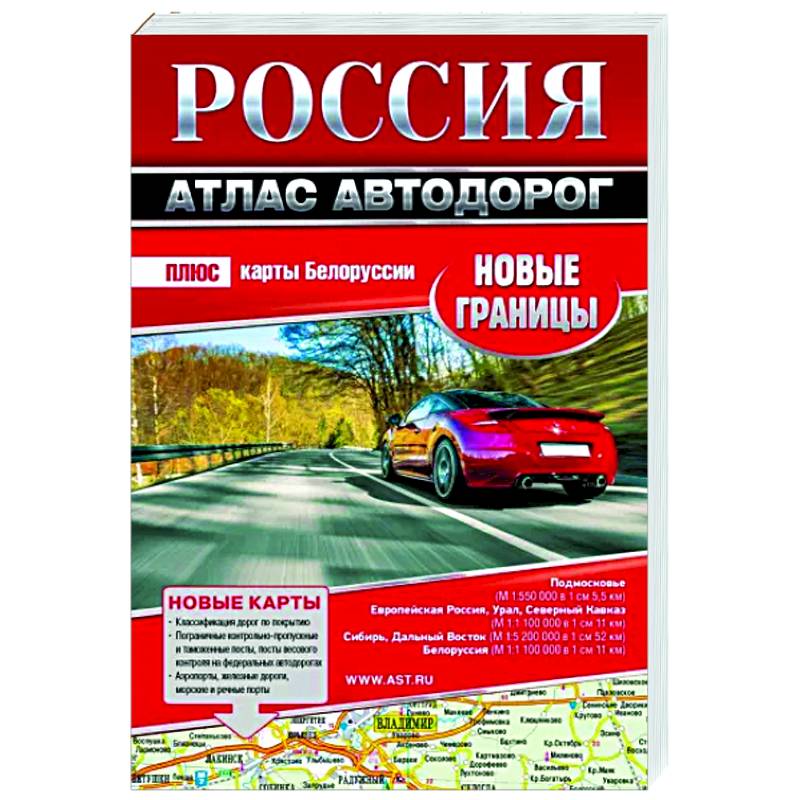
Russia. Atlas of roads. New boundaries
Please sign in so that we can notify you about a reply
The atlas includes the entire territory of the Russian Federation, where there is a road network (89 constituent entities of the Russian Federation):
• the European part of Russia, the Urals and the North Caucasus in a scale of 1: 1,100,000 (1 cm on the maps corresponds to 11 km on the ground)
• Siberia and the Far East on a scale of 1: 5,200,000 (1 cm: 52 km)
• Moscow region in a scale of 1: 550 000 (1 cm: 5.5 km)
• cities • Cities Federal significance Moscow and St. Petersburg on a scale of 1: 200,000 (1cm: 2 km)
In addition, the atlas includes cards of Belarus and Abkhazia in a scale of 1: 1,100,000 (1 cm: 11 km)
On the maps of the atlas in the foreground of the highly categories road, along which an interregional message is carried out. The maps are not overloaded with details: the largest, oriented, nodal and final settlements are shown. Therefore, it is convenient to plan trips over long distances. At the same time, the public network is shown as detailed as possible.
Possible routes of through passage in the solid buildings are allocated on two capitals and their closest suburbs. The device of multi-level interchanges on the Moscow Ring Road and KAD of St. Petersburg is shown.
Reference material:
The list of federal roads of Russia.
List of roads of the International European Network.
List of routes of the Asian roads network passing through the Russian Federation. Br /> Contacts of regional traffic police units
Cover:
Cover:Soft
Category:
- Category:Engineering & Transportation
- Category:Travel & tourism
Publication language:
Publication Language:Russian
Paper:
Paper:Offset
Age restrictions:
Age restrictions:0+
ISBN:
ISBN:978-5-17-154542-0
No reviews found
