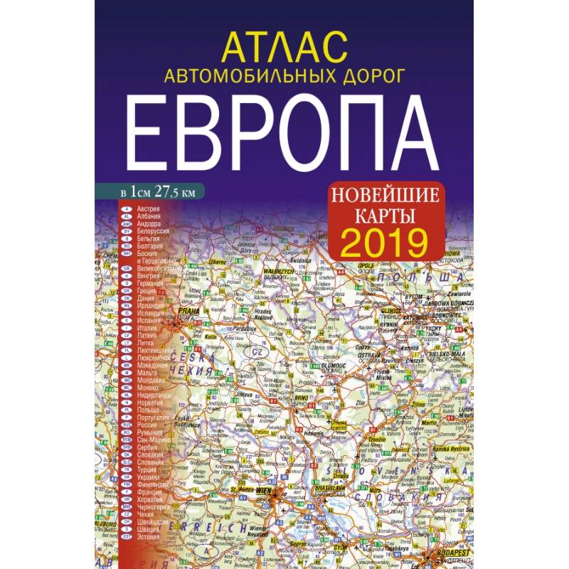
Atlas of roads. Europe
Please sign in so that we can notify you about a reply
The proposed atlas presents a network of roads of foreign Europe in a scale of 1: 2 750 000 (1 cm 27, 5 km) All the main names on the cards of the Atlas are given in two languages - the native language of the corresponding country and in Russian. The atlas shows a scheme and a table of distances between the main cities of Europe. The color is highlighted in settlements with numerous attractions. Additionally, the atlas shows the main water routes, seaports and airports
Cover:
Cover:Soft
Category:
- Category:Engineering & Transportation
- Category:Travel & tourism
Paper:
Paper:Cooked
Age restrictions:
Age restrictions:0+
ISBN:
ISBN:978-5-17-111156-4
No reviews found
