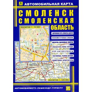
Smolensk. Smolensk region. Car card
Please sign in so that we can notify you about a reply
Bilateral full -color map. Contains a detailed plan of the city with all streets, numbers of corner houses. The location of administrative buildings and socio-cultural objects is indicated. There is a street indicator.
The scale of the city of Smolensk 1:19 000, for the Smolensk region 1: 520000.
A detailed map of the region indicating the class of roads and distances between settlements in kilometers. The location of the traffic police, gas stations is indicated. There is a pointer of settlements
The scale of the city of Smolensk 1:19 000, for the Smolensk region 1: 520000.
A detailed map of the region indicating the class of roads and distances between settlements in kilometers. The location of the traffic police, gas stations is indicated. There is a pointer of settlements
Cover:
Cover:Soft
Category:
- Category:Education & Teaching
- Category:History & Geography
- Category:Travel & tourism
Paper:
Paper:Coared
Series:
Series: City maps
ISBN:
ISBN:978-5-89485-085-6
No reviews found
