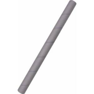
Physical map of Russia, wall-mounted. In a tube
Please sign in so that we can notify you about a reply
The physical map reflects in detail the relief and hydrography, as well as sands, glaciers, salt marshes, swamps, volcanoes. Socio-economic elements (state borders, settlements, main roads and railways, ferry crossings, sea routes, sea and river ports, international airports) are shown.
The main reference information about the Russian Federation and information about the largest geographical facilities are additionally given, as well as a new map of the clock zones of Russia.
The laminated coating gives the paints a more saturated shade and provides the map with durability.
Card format: 124x80 cm.
scale: 1: 6 700 000.
Cardboard tube 63x1.2x840 mm, inside craft, parchment outside + sticker
Category:
- Category:Education & Teaching
- Category:History & Geography
- Category:Travel & tourism
ISBN:
ISBN:4660136221494
No reviews found
