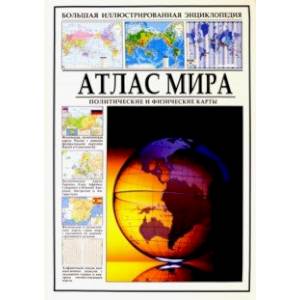
Atlas of the world. Political and physical maps
Please sign in so that we can notify you about a reply
A detailed color illustrated encyclopedia contains physical and political maps of all countries of the world indicating their administrative division in the region, provinces and regions.
The publication open the physical and political maps of the world. Then the maps of Russia, the countries of Europe, Asia, Africa, North America, Central America, South America, Australia and Oceania are followed. The map of each country includes the image of its flag and various reference information: area, number of population, official language, telephone code, Internet domain, time difference in relation to Moscow and information about national currency. Some blocks show the country"s position in the region of the world. It is given its division into administrative units. Small islands that are the territory of this country are more largely shown.
On the map of each state, the location of its main roads, airports, cities indicating the density of the population and boundaries passing through the water area of the lakes is indicated. Separately, a map of Antarctica is given indicating the sectors - spheres of influence and territorial claims of individual states.
The publication includes maps of the so -called dependent territories in America and Oceania. In particular, cards of the small Antilles are given: Guadelups, Martinics, Montserrat and others. Maps of the Virgin and Bermuda Islands, Galapagos, Kayman Islands, and Falklands are given. In the Pacific Ocean, such territories include the American Sam and the Markiz Islands, Tahiti, Cook Islands, Pitkarn, Northern Mariana Islands, Easter Island and others.
At the end of the atlas, a map of peace with time zones and zero meridian passing through Greenwich located on it. The card allows you to quickly assess the time difference depending on the geographical distance.
The alphabetical list at the end of the publication allows you to quickly find any settlement indicated in the book, to understand which country it is in and find the desired sector of the corresponding card.
From similar publications, this encyclopedia is characterized by a large format, which allows you to consider all the details of the cards as clearly as possible. In total, the publication contains about forty thousand topographic names, which makes it a unique domestic geographical atlas
Cover:
Cover:Hard
Category:
- Category:Education & Teaching
- Category:History & Geography
- Category:Travel & tourism
Series:
Series: Big Illustrated Encyclopedia
ISBN:
ISBN:978-5-9603-0538-9
No reviews found
