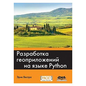
Development of ge appropriations in Python
Please sign in so that we can notify you about a reply
"Development of ge appropriations in Python"
Writing geospatial programs involves solving such problems as grouping data on the geographical position, storage and analysis of large arrays of spatial information, the implementation of complex geospatial calculations and the construction of colorful interactive maps. To do this is good, you will need appropriate tools and methodology, as well as a complete understanding of geospatial concepts, such as cartographic projections, geodetic dacules and coordinate systems.
This book provides an overview of the main geospatial concepts, sources of geodata and sets of tools for geophydration. The techniques of storage and access to spatial data are considered. The creation of your own interface with a sliding card as part of a web application is shown. The creation of a geodata editor based on the GeoDjango geographical module for the Django web platform is described in detail.
By the end of the book, you will be able to confidently use Python to write your own geospatial applications.
What will you learn by reading this book:
- gain access to geodan, manage them and visualize from your programs on Python,
- Apply basic geospatial concepts, including geographical position, distance, units of measurements, cartographic projections and geodetic datums,
- Read and write geodata in vector and raster formats,
- perform complex practical geospatial calculations using the Python language,
- Store geodata in the base of geodata and gain access to them,
- use points, lines and polygons within the framework of your programs on Python,
- transform geodata into attractive cards using tools for geopolition in Python,
- To construct full-function cartographic web applications based on Python.
3rd edition
Author:
Author:Vastra Eric
Cover:
Cover:Soft
Category:
- Category:Computer & Technology
- Category:Science & Math
ISBN:
ISBN:978-5-97060-437-3
No reviews found
