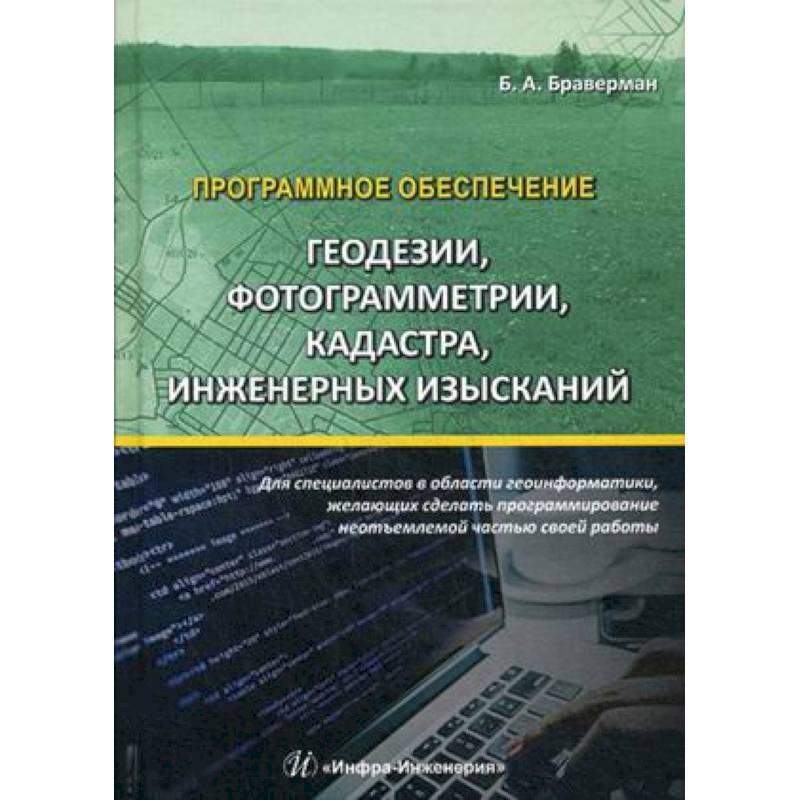
Software of geodesy, photogrammetry, cadastre, engineering surveys. Tutorial
Please sign in so that we can notify you about a reply
The possibilities of using programming elements in C# in the Microsoft Visual Studio environment to solve various geomatic problems are considered. The connection of the processes of cadastre and geographical information systems is shown. Functions are proposed to solve the problems of cadastre and engineering surveys based on geodesy and aerotriangulation data. The digital modeling of the area is programmatically implemented in which geodetic and geological surveys are considered together. A model of accounting for moving earth masses has been created. A large number of functions ready to use with the original texts and the ability to adapt them to various conditions are presented.
For specialists in the field of geomatics who decided to improve the quality and speed of their work using the implementation of programming elements, as well as for students of engineering and geodetic and cadastral areas
For specialists in the field of geomatics who decided to improve the quality and speed of their work using the implementation of programming elements, as well as for students of engineering and geodetic and cadastral areas
Author:
Author:Braverman Boris Aronovich
Cover:
Cover:Hard
Category:
- Category:Computer & Technology
Publication language:
Publication Language:Russian
Paper:
Paper:Offset
ISBN:
ISBN:978-5-9729-0224-8
No reviews found
