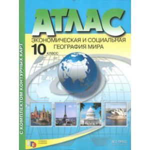
Atlas with a set of outline maps. Economic and social geography of the world. 10th grade
Please sign in so that we can notify you about a reply
Atlas with a set of contour cards Economic and social geography of the world grade 10. Updated and supplemented.
This atlas can be used as a teaching manual for any of the existing textbooks for the 10th grade. Atlas maps are based on statistical data and differ in modern content.
Cards of the first section reflect the main characteristics of the political device, the population and the economy of the modern world as a whole. A feature of these cards is the show of the territorial patterns of socio-economic phenomena in a generalized form and the most important objects on their background. This section presents many new maps, for example "modern state forms," official and state languages", "international financial relations"," environmental pollution "and others.
In the second section, the regional characteristics of the world based on the allocation of historical and geographic regions are given. The exception is the territory of Russia, which is considered as a separate region.
For each territory, two cards are presented: "natural conditions and resources" and "economy", which makes it possible to analyze the role of a natural resource factor in the territorial organization of the economy.
At the same time, the largest industrial centers and their specialization, the main aroles of the land processed, the placement of specialized agricultural production, the main transport highways of the region are shown on the farm cards. The Atlas is completed by the Cultural Heritage Map of humanity, which displays objects having a global value.
The relevance and diversity of the subject of the Atlas card will help you in a comprehensive study of modern socio-economic phenomena in the territorial aspect
Author:
Author:Poloubkina N. N.
Cover:
Cover:Soft
Category:
- Category:History & Geography
- Category:Science & Math
No reviews found
