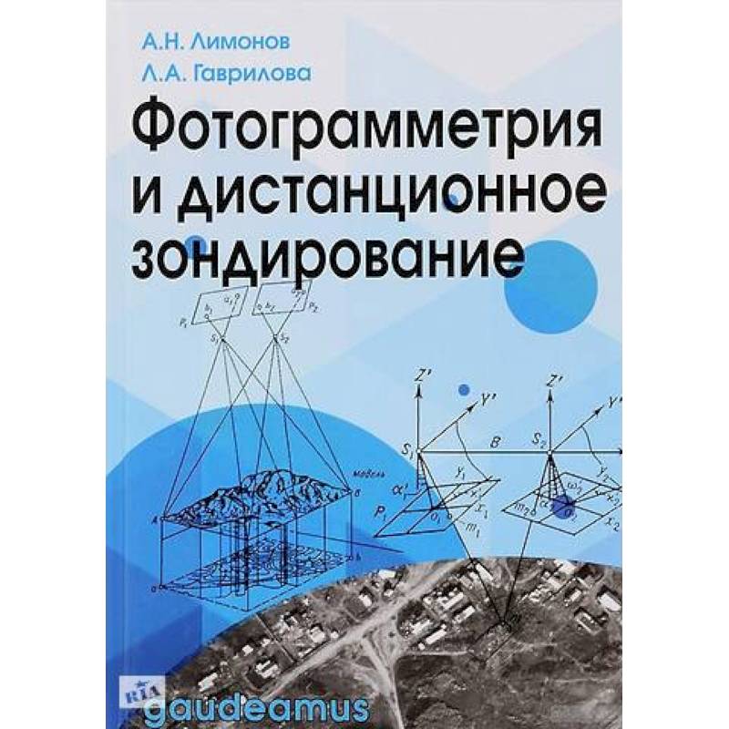
Photogrammetry and remote sensing
Please sign in so that we can notify you about a reply
The textbook sets out the scientific foundations and practical recommendations of the application of distance methods for obtaining information about the spatial position and high -quality composition of objects of the earth"s surface. Modern air and space filming systems and areas of their use are considered. Analytical analysis of the geometric properties of aero- and space shots and a general idea of the theory and innovative technologies for processing aero- and space shots at modern digital photogrammetric stations for the creation of orthophotoplans- the basis for placing topographic, cadastral and other information. Solutions of applied tasks of land management, cadasters and land monitoring are presented according to remote sensing data.
The textbook can be used in the preparation of bachelors studying in the areas Land Management and Cadastre, Photogrammetry and Remote Institution, specialists in the specialty Applied Geodesy, masters and graduate students in the direction of training Science of Earth
The textbook can be used in the preparation of bachelors studying in the areas Land Management and Cadastre, Photogrammetry and Remote Institution, specialists in the specialty Applied Geodesy, masters and graduate students in the direction of training Science of Earth
Author:
Author:Гаврилова Лариса Анатольевна, Лимонов Анатолий Николаевич
Cover:
Cover:Hard
Category:
- Category:Arts & Photography
- Category:Reference books
Publication language:
Publication Language:Russian
Paper:
Paper:Offset
ISBN:
ISBN:978-5-8291-2271-3
No reviews found
