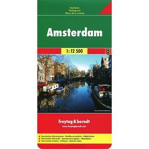
Amsterdam. Map./Amsterdam: City Map
Please sign in so that we can notify you about a reply
The publication is a map of Amsterdam (scale 1: 12500) Includes a plan of the inner part of the city, a neighborhood map, street pointers, a metro scheme, public transport stops and train stations, as well as useful information for tourists.
Card format in the deployed form: 92 cm x 125 cm.
Explore Amsterdam with this Freytag & Berndt Street Map. The Best Way to Plan Your Trip, Prepare Your Itinerary, and to Travel Independently In The Dutch Capital.
PLACE NAME INDEX. Touristic Information: Places of Interest, Religious Buildings, Theatres, Museums, Pedestrian Zones, Monuments, Police Stations, Hospitals, Parking
Cover:
Cover:Soft
Category:
- Category:Medical Books
- Category:Travel & tourism
ISBN:
ISBN:978-3-7079-0612-7
No reviews found
