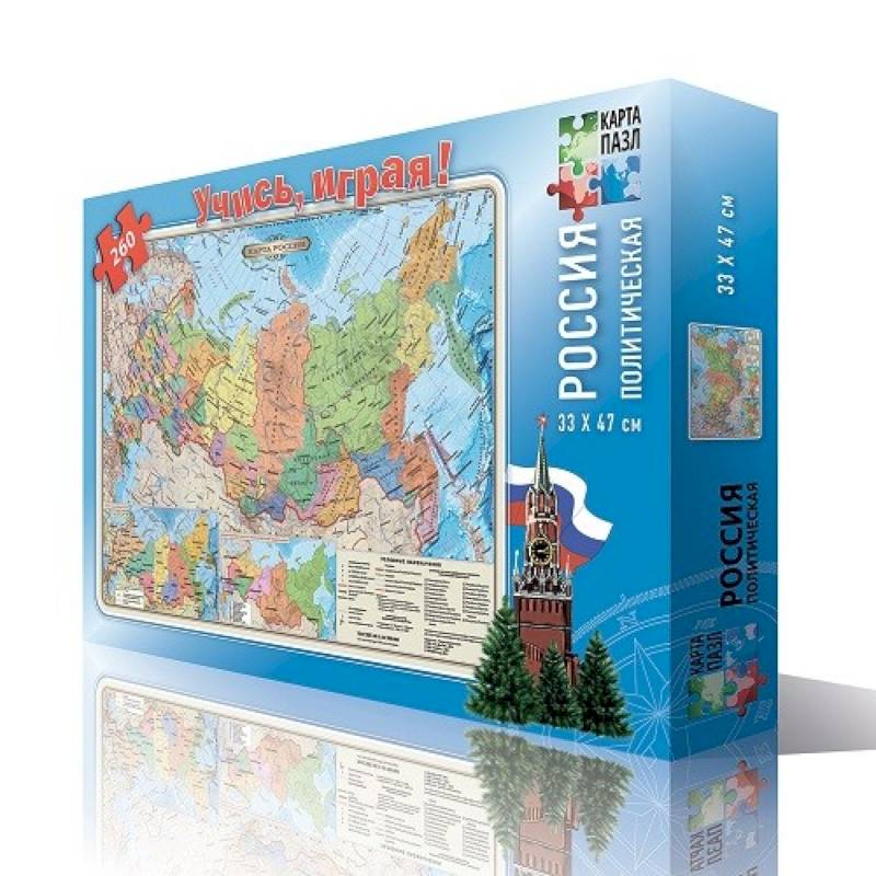
Russia is political. Pazle map. 260 details
Please sign in so that we can notify you about a reply
In the process of playing with great interest, your child will study the political and administrative structure of the state, the boundaries of federal districts and subjects and the main large cities. He learns what waters is washed and what states our homeland borders. A new map of the clock belts of Russia is given.
This is a great method to get acquainted with the features of geography from a small age. When playing, the child develops imagination, spatial thinking, attention, memory and ability to analyze!
Know the world around with the child, collecting puzzle cards!
scale: 1: 14.5 million.
The number of details: 260 pieces
Category:
- Category:Kids toys & Table games
Dimensions:
Dimensions:24x38x4 cm
Series:
Series: Pazle map
No reviews found